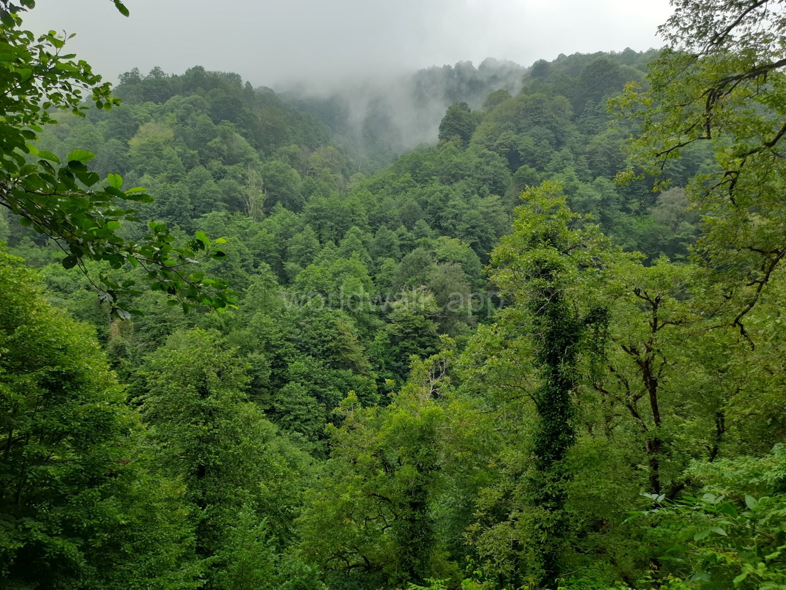
A day is enough to travel from Batumi to Chakvistavi village, walk the main trail and return to the city. The key is to choose suitable weather and arrange your return transport in advance.
Mtirala: The Essentials
- Where to go: Chakvistavi village, at the start of the walking trail. The park administration in Chakvi is a different location
- Travel from Batumi: Allow roughly 1–1.5 hours each way, depending on your starting point and conditions
- Main trail: Tsablnari: forest, a waterfall and a small natural lake. The officially listed distance is about 7 km
- Walking time: Allow around 3–4 hours with stops; your pace and trail conditions may mean you need longer
- Total trip time: Around 6–8 hours, including transport and some spare time
- When to visit: Throughout the year, choosing your day according to the forecast and current trail conditions
- Getting there: By car, with a hired driver, or by public transport to Chakvi followed by a taxi
- What to check: Road and trail conditions, whether the river crossing is operating, and current fees and services
The visitor services contact listed on the national parks website is +995 577 10 18 89.
Why Visit Mtirala National Park?
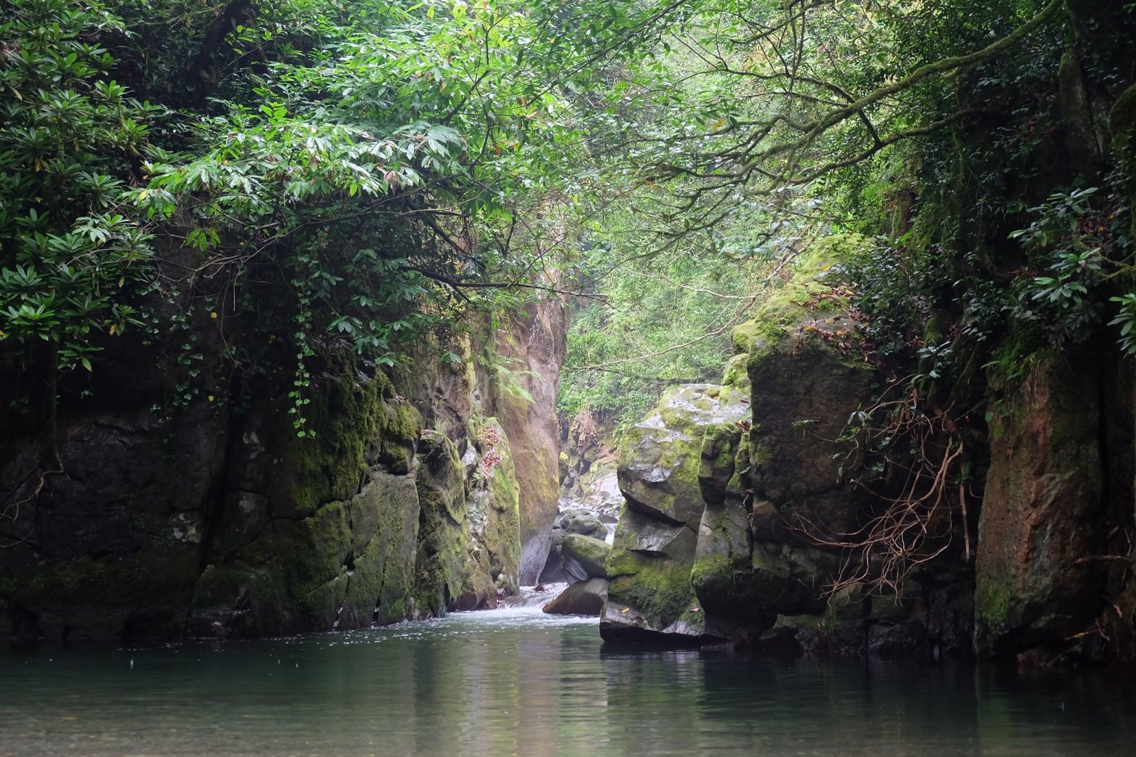
Mtirala lies in the mountains of Adjara, inland from Chakvi. Its Colchic broadleaved forests have a dense evergreen understorey. The Colchic Rainforests and Wetlands are a UNESCO World Heritage Site, with part of this natural heritage protected within Mtirala.
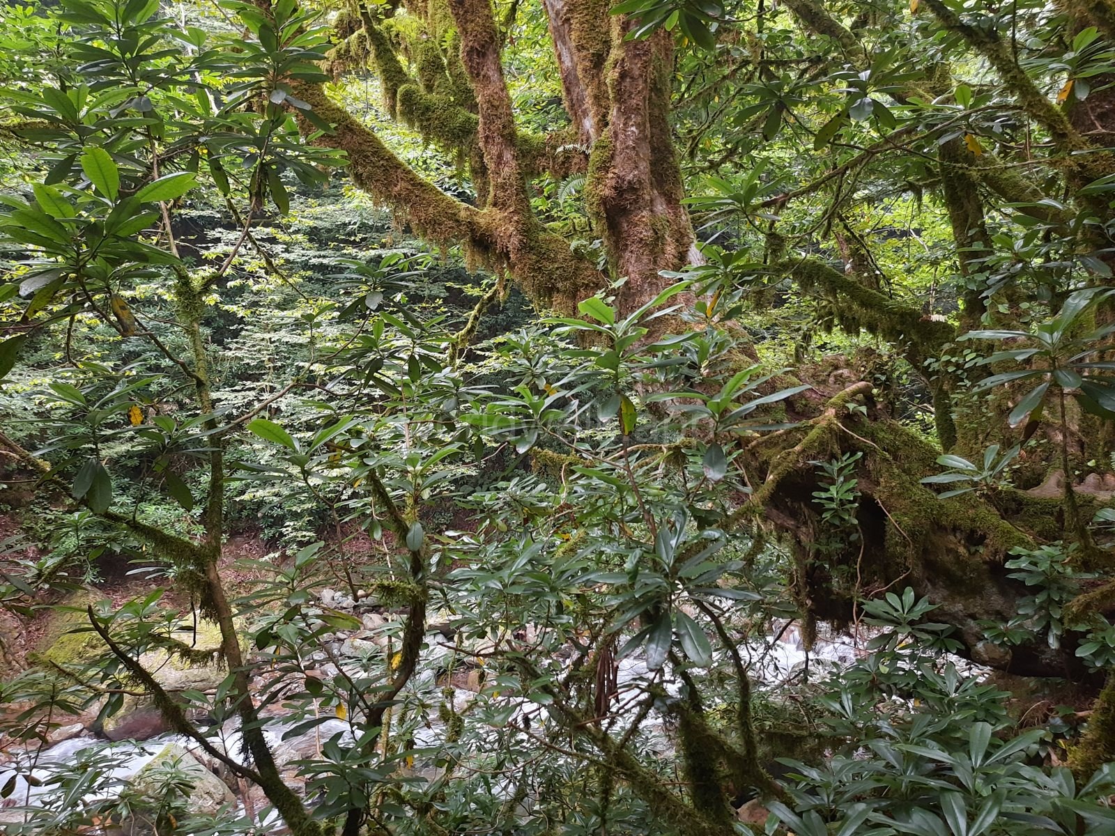
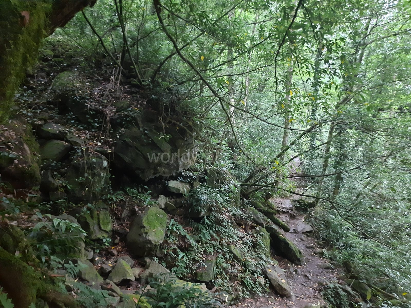
Along the popular walking routes, you will find chestnut and beech trees, cherry laurel and rhododendrons. Between the trees are glimpses of the river, rocks and patches of ferns. Much of the pleasure is in the walk itself: stopping by the water, looking at the plants and moving at your own pace.
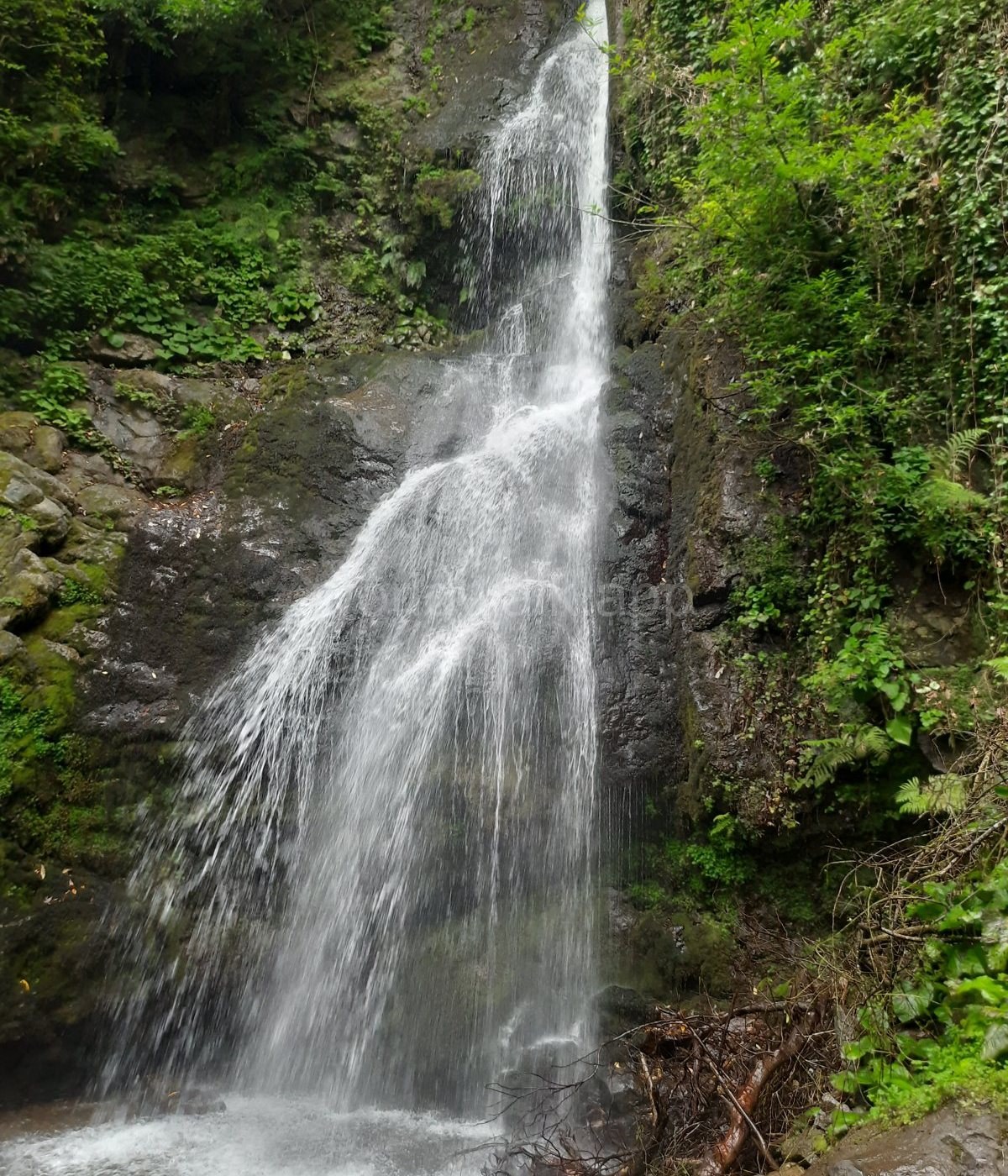
The two main stops on the short route are Tsablnari Waterfall and a natural lake formed by the river among the rocks. Reaching the waterfall involves an uphill section; there are picnic areas near the lake. This makes a good outing if you want a few hours in nature without committing to a multi-day hike.
There is also a zipline and a ropes course near the walking area. Treat them as optional extras: the official website lists these activities for spring, summer and autumn. Check whether they will be operating on your chosen day.
Why Visit Mtirala in Autumn?
Autumn brings two advantages: cooler walking weather and the chance to visit after the summer peak. A park development plan published by UNDP identifies July–September as the busiest period. For a quieter trip, a weekday later in autumn is therefore a sensible choice. You cannot count on having the trail to yourself, but you will be outside the peak season.
The forest gradually changes colour. Broadleaved trees turn yellow and lose their leaves, while the evergreen understorey stays green. On the same walk, you may see autumn foliage, dark cherry laurel leaves and wet rocks beside the river. The scene changes with the month and the weather: early and late autumn offer different views.
On a cool day, climbing uphill and lingering along the route can feel more comfortable without the summer heat. If you are coming for the forest, photography and walking, autumn may well suit you better than summer.
Rain is the main seasonal consideration. Look for a suitable weather window and take recent rainfall into account too. A sunny morning after prolonged heavy rain does not mean the trail has dried out.
Mtirala in Winter: Why Go and What to Expect
A winter trip suits anyone looking for quiet, cool air and a few hours in the forest. It is a way to get out into nature from Batumi long after the beach season has ended.
Bare deciduous trees open up the views between the trunks, while evergreen shrubs retain their colour. The forest has a different texture from its summer canopy: branches, slopes and the understorey become more visible. Mist, when it appears, adds another layer to the gorge.
Winter’s main attraction is visiting outside the principal tourist season. If you dislike summer heat and busy riverside picnic spots, a cool weekday may be more enjoyable. A quiet trail is never guaranteed, though: tour groups can still visit outside summer.
Year-round hiking does not mean every route is accessible every day. Roads and trails depend on rainfall, while the river crossing and other services also depend on operating arrangements. Before a winter visit, ask the park administration about current conditions. Snow and ice are possible and need to be assessed separately; the weather on Batumi’s seafront does not tell you what is happening in the mountains.
For a first winter visit, choose the main short trail and start in the morning. With fewer daylight hours, leave enough time to finish the walk and drive the mountain road before dark.
Mtirala in December and January: First-Hand Impressions
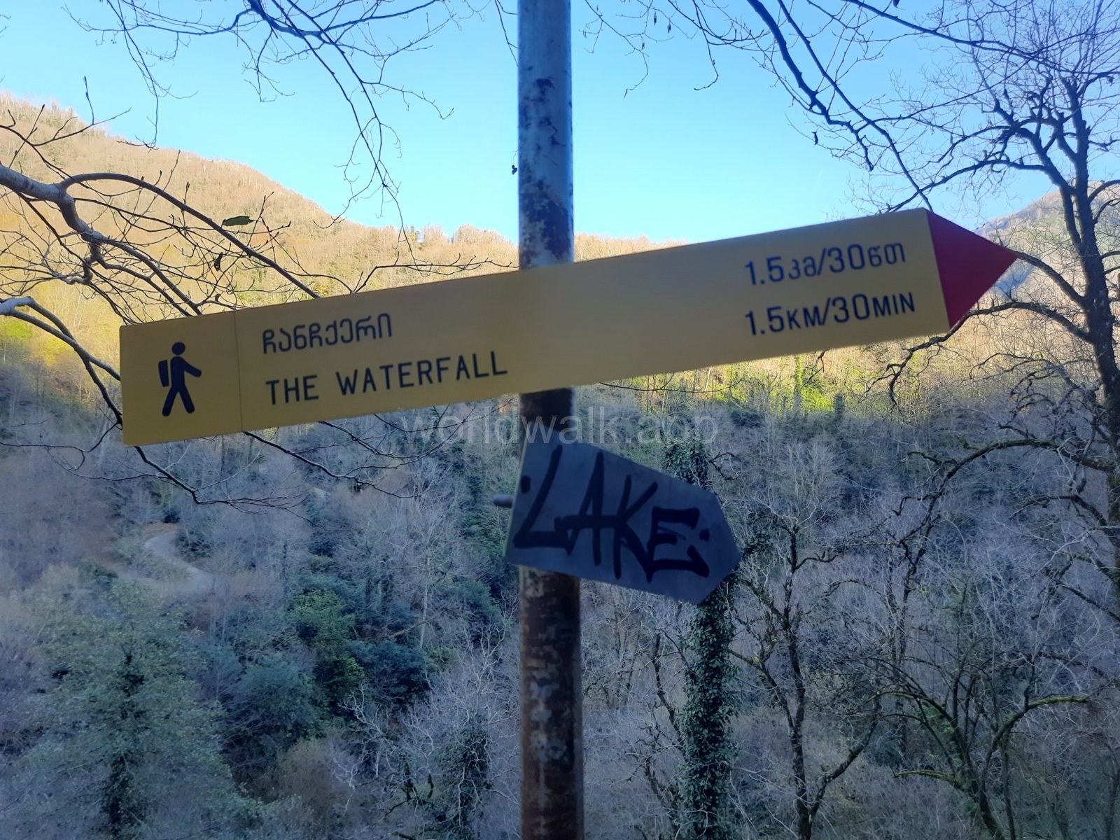
This section is based on the author’s own visits to Mtirala in December and January.
December in the park was magnificent. January was just as good: the air is lovely, but the humidity feels especially heavy, noticeably more than you might expect. The trail is always damp and slippery as a result, so non-slip footwear is a must and a raincoat is worth carrying even when it isn’t raining.
The river crossing was running in December. There are picnic spots, so you can bring food and water and stop by the river. Local dogs walk along the trail with visitors and act like guides. You can treat them, ideally with something you have brought from home.
The overall feeling of the winter forest is of a fairy-tale woodland: wet moss, mist, the sound of the river and hardly any bustle.
Spring and Summer: Who Are They Best For?
Spring brings fresh leaves and flowers. Flowering times vary with the species, elevation and weather, so if you are hoping to see a particular plant in bloom, ask the park what is currently flowering. Footwear suitable for wet trails is useful even on a sunny day.
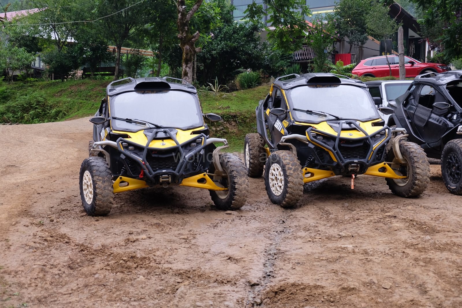
Summer gives you more time for longer stops and extra activities. Buggies are parked near the park entrance and can be taken out for a ride (check conditions and prices on the spot). Daylight lasts longer, but popular sections attract more visitors, and the humidity is noticeable even in the shade. Setting off early helps you walk part of the route before the busiest hours.
Choose your season around the experience you want. Autumn and mild winter days are especially appealing for forest walks without the heat. Warmer months are more convenient for a longer outing with seasonal activities.
How to Get to Mtirala from Batumi
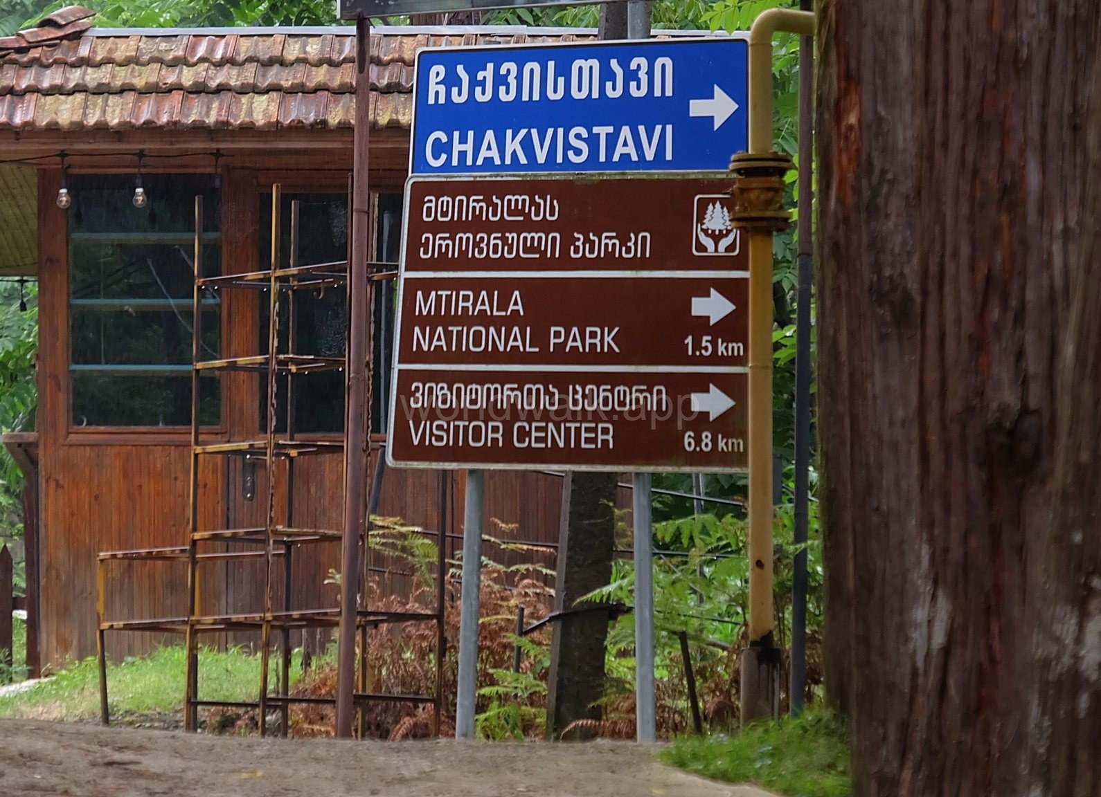
The main approach to the walking area runs through Chakvi to Chakvistavi village. Do not confuse the national park administration in Chakvi with the trail’s starting point.
The official directions describe the section from Chakvi to the visitor centre in Chakvistavi as 15 km of narrow, paved road. Allow roughly 1–1.5 hours each way from Batumi. This is a planning allowance rather than a guaranteed journey time.
In Your Own Car or a Rental
Select the trail’s starting point in Chakvistavi in your navigation app before leaving. A general national park pin may be an unsuitable destination: the protected area is large.
Allow for oncoming vehicles on the narrow road and expect slower progress than in the city. After heavy rainfall, check whether the road is passable. If you are renting a car, check that your rental agreement permits travel on the planned route.
WorldWalk’s guides to driving in Batumi and Georgia and car rental provide further preparation advice. These linked articles are in Russian.
By Taxi or Hired Driver
For a group, this is a convenient way to reach the trailhead. Before setting off, agree on:
- the destination in Chakvistavi;
- the total price, including the return trip and waiting time;
- how much time you have for the walk;
- how you will stay in touch and what happens if you are delayed.
Allow around four hours for the walk, or longer if you prefer a relaxed pace. Prices depend on the driver, starting point and waiting time, so ask for a quote for your date.
Arrange the return journey before starting the walk. Do not assume there will be a spare car at the exit or that an app-based taxi will arrive quickly. Read more about city services in WorldWalk’s guide to getting around Batumi.
Public Transport to Chakvi
You can travel to Chakvi by public transport and cover the remaining section in a prearranged taxi. Before leaving, check the current route, where to get off and how you will make the connection.
This option takes more organisation: weigh the savings on the first leg against the local taxi fare and waiting time. This guide does not provide a confirmed current timetable for a direct service to the trailhead, so do not build your trip around one.
Mtirala’s Trails: Which Should You Choose?
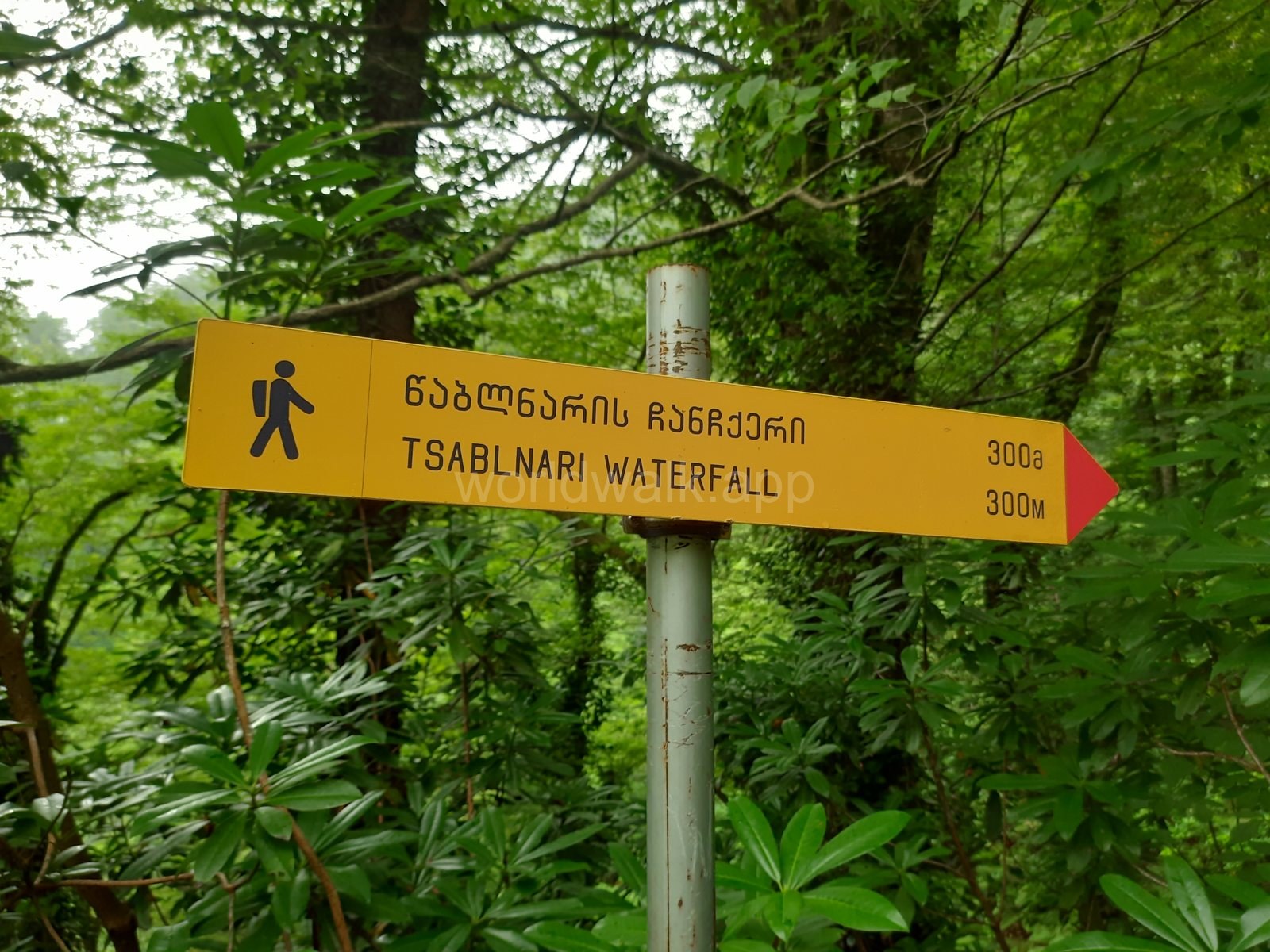
Tsablnari is the most convenient choice for a first visit and a day trip from Batumi. Longer routes need separate planning.
- Tsablnari: About 7 km; one-day route; easy; Waterfall and lake, with uphill and uneven sections
- Tsivtskaro: About 16 km; two-day route; moderate; Climbs from the visitor centre to about 1,250 m above sea level; includes a tourist shelter
- Two Mountain Trail: About 33.5 km; three-day route; moderate; A longer route with several possible starting points
These details come from Adjara’s official tourism resource. The durations describe the suggested itinerary format rather than a fixed walking time for every visitor.
Tsablnari: The Waterfall and Lake
The route starts in Chakvistavi and runs at elevations of approximately 265–442 m. That is its elevation range, not the total ascent. The officially listed length is about 7 km; the distance you walk will depend on the branches you follow and where you turn back.
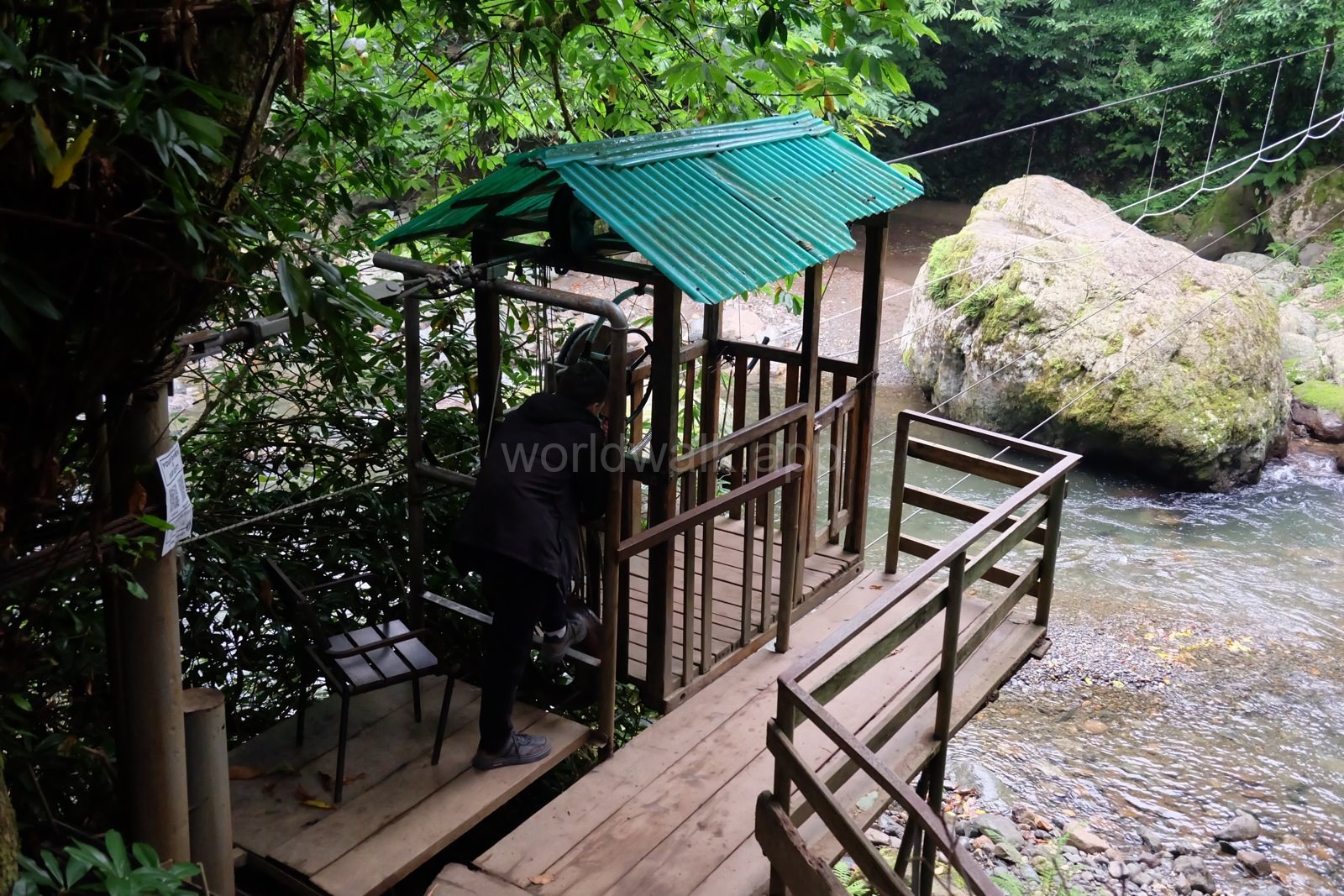
At the trail entrance, a small cable crossing carries visitors over the river. The cabin is operated by hand and a local ferryman, who sits in a hut by the platform, pulls it. In the author’s experience the crossing was running in December, and if the ferryman isn’t there, people simply use the cabin without him. There is no fixed fare: expect to pay about 5–10 lari, depending on the day and the ferryman. Carry small notes, and check the water level before you get in. Once there, check your route against the map and signs.
The main stops are the waterfall and natural lake. Allow several hours to visit both without rushing and take a break by the water. There is an uphill section towards the waterfall; take care on wet roots, rocks and soil.
An official “easy” rating does not mean a smooth path. Hiking boots or trail shoes with grippy soles are suitable. Smooth-soled city shoes will be uncomfortable on this terrain.
Longer Hikes
Treat Tsivtskaro and the Two Mountain Trail as separate hiking trips. Plan your overnight stops, equipment, return route and shelter availability.
In autumn and winter, also check snow conditions, trail access and whether guided support is available. For a simple day out from Batumi, the short trail is enough to get to know the forest.
How Much Time and Money to Allow
Set aside 6–8 hours for a trip covering the main trail:
- around 2–3 hours for the return drive;
- roughly 3–4 hours for walking with stops;
- extra time for the river crossing, food and changing clothes.
These are estimates. Children, a slower pace or wet conditions may mean you need longer. In autumn and winter, leave earlier to preserve a margin of daylight.
Transport will be the main expense. Bring extra cash for the crossing (typically 5–10 lari, with no fixed fare), food and any optional activities. Check current entry arrangements and service prices with the park: the absence of an entry price on an undated webpage does not confirm that admission is free today.
For enquiries, call +995 577 10 18 89. Ask about the short trail’s condition, the river crossing and current charges in the same call.
What to Bring
For a typical walk on Tsablnari, pack:
- non-slip footwear with grippy soles: the trail is very slippery;
- a raincoat or hooded waterproof jacket: bring one regardless, as it is almost always very damp;
- water and food: there are picnic spots by the river, so you can bring lunch with you;
- an extra layer, particularly in autumn and winter;
- spare socks and a bag to keep essential items dry;
- a charged phone, an offline map and a power bank;
- a small headtorch in case you are delayed;
- cash in Georgian lari, in small notes (for the crossing);
- treats for the local dogs, which often accompany hikers along the trail like guides.
Do not rely on buying supplies along the trail. Check your food options before or after the walk in advance: café opening arrangements may change outside the main season.
Mobile reception can be unreliable in the forest. Save your map, the driver’s number and your return arrangements before setting off.
How to Choose a Day for Your Visit
Check the forecast for the park area and official warnings about heavy rain, flooding, landslides and wind. Consider the preceding days too: mud and high water may persist after prolonged rain.
Postpone the trip if there are warnings of dangerous conditions, heavy downpours, ice, or uncertainty about whether the access road is passable. Light rain does not automatically rule out a visit, but you need suitable clothing and footwear and an assessment of trail conditions.
In autumn and winter, factor in daylight. Start walking in the morning and aim to return to the car well before dusk. Decide on a turnaround time in advance, allowing for your own pace.
If the weather is unsuitable, choose something in the city from the Batumi rainy-day guide. Other nearby destinations are covered in day trips from Batumi.
A One-Day Trip Plan
In the morning, leave Batumi in time to start walking at around 9–10 am. On days with limited daylight, an earlier start is preferable. Confirm your return transport before leaving.
At the trailhead, check conditions, consult the map and assess how much time you have before your planned return. Follow the current signs to the waterfall and lake in an order that suits your route. Allow time for stops and the walk back.
After the walk, change clothes if needed and have lunch if a café is open, or eat the food you brought. In autumn and winter, return to Batumi without adding distant stops so that you can drive the narrow road in daylight.
On a long, warm day, you can leave time for the zipline or ropes course, having checked that they are operating. There is no need to squeeze a second major walk into the remaining hours: give Mtirala time.
Frequently Asked Questions
Can You Visit Mtirala in Winter?
Yes. The official website lists hiking as a year-round activity. Choose suitable weather for the short trail and check the road, trail and river crossing in advance. Assess longer hikes separately.
Is Summer or Autumn Better?
Autumn may suit you better for cool forest walks after peak visitor season. Summer offers longer days and more time for extra activities. Choose according to your interests and the forecast.
Can You Get There Without a Car?
Yes: hire a driver from Batumi, or take public transport to Chakvi and transfer to a prearranged taxi. Organise the return trip before starting the trail.
Do You Need a Guide?
Tsablnari is described as a marked trail with an easy rating. If it is open, conditions are suitable and you can navigate with a map, it can be considered for an independent walk. A guide is useful if you are unsure about your preparation or want to learn more about the forest. Discuss guidance for longer hikes with the park administration.
Is It Suitable for Children?
Consider your child’s walking experience: are they comfortable spending several hours on uneven paths with uphill sections? The route is unsuitable for a pushchair. Choose a walk that matches your family’s abilities and leave plenty of time to return.
What Operates Outside the Main Season?
Trail access and tourist services have different arrangements. The website lists the zipline and ropes course for spring, summer and autumn. The river crossing was running in December, but it is operated by hand and has no fixed fare: usually 5–10 lari, depending on the ferryman. Check the cafés, accommodation and other services for your particular date.
Is One Day from Batumi Enough?
Yes, for an introduction to Mtirala on the Tsablnari Trail. Longer routes with overnight shelter stays need a separate plan and more time.
Prepared using official descriptions from Georgia’s national parks, Adjara’s tourism resource and UNDP documents, as well as the author’s own visit to Mtirala. The principal sources were reviewed on 19 October 2026. Check route access, service availability and prices before travelling.